MARKER FILERecord dated
Where Denton County is: boundaries, towns, roads and neighbouring counties
Where Denton County, Texas sits: its boundaries, neighbouring counties, principal towns, farm roads and the routes that cross the Blackland Prairie.
Filed 7 min readBy the Blackland Chronology editorial team
The Texas Almanac prints county boundaries and county seats, and it does not publish survey lines, road changes or the dates on which a boundary moved. This page follows the county line as the published maps draw it and says nothing where the maps disagree.
Where Denton County Is: Boundaries and Towns
Denton County sits in North Texas, on the northern edge of the Dallas-Fort Worth metroplex, and its shape has been redrawn more than once since the first surveyors ran their lines. If you are trying to place an ancestor or a deed on the map, the short answer is that the county occupies a stretch of the Blackland Prairie and the eastern Cross Timbers between the Trinity River country to the south and the Red River borderlands farther north. The longer answer involves boundary lines that took decades to settle, a set of towns that grew up along rail spurs rather than rivers, and highways that now cut across the old survey grid.
The county is bordered by several neighbours. To the west lies Wise County, and to the north-west, Cooke County. Along the northern edge, the boundary reaches toward Grayson County on the north-east. To the east sits Collin County, and to the south, Dallas and Tarrant counties. These lines matter to family historians because a family that seems to vanish in one county may simply have crossed into another when the boundary shifted or when a new county was carved out of an older one. A careful researcher checks the Denton County boundary survey to see how the lines were actually drawn, because the modern outline is not the same as the one on an 1850s deed.
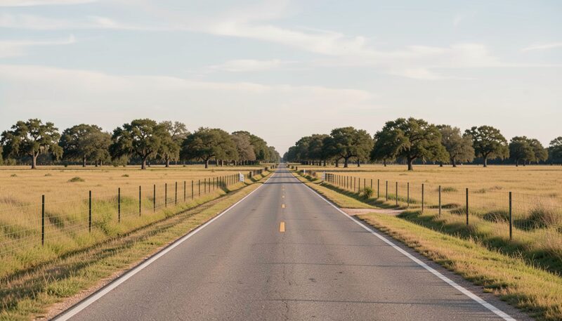
What the county's physical setting looks like
Denton County straddles two distinct landscapes. The eastern portion is Blackland Prairie, dark, heavy soil that early farmers found ideal for cotton and grain. The western portion belongs to the Cross Timbers, a belt of post oak and blackjack oak that resisted the plow and shaped where settlement happened. That split between prairie and timber is not just a scenic detail; it influenced which towns grew and which stayed small, where railroads chose to run, and how the prairie and Cross Timbers shape the county's settlement pattern even today. If you are reading a farm record or a land grant, knowing which side of that line the land fell on tells you a great deal about what the family was doing there.
Which towns does the county include?
Denton is the county seat and the largest city, sitting in the middle of the county where the two land types meet. Around it are the towns that most residents know: Lewisville, Flower Mound, Carrollton, and The Colony to the south and south-east; Little Elm and Frisco along the eastern edge; Argyle, Justin, and Northlake to the west; Sanger, Krum, and Ponder to the north; and Pilot Point, Aubrey, and Providence Village in the northern and north-western reaches. Smaller communities such as Roanoke, Bartonville, Copper Canyon, and Oak Point round out the list. The county does not publish a fixed count of incorporated places on the pages consulted here, so treat any number you see elsewhere as one that changes with each annexation.
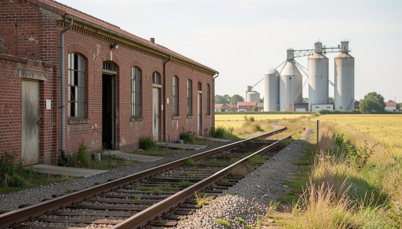
Many of these towns owe their existence to the rails rather than to rivers or crossroads. When the Texas and Pacific and later lines pushed through North Texas in the 1870s and 1880s, new depots pulled trade away from older settlements and fixed the shape of the county's town map. The link between railroads and town growth is one of the clearest patterns in Denton County history: a town with a depot grew, and a town without one often faded. That is why so many of the county's principal towns sit on straight lines that look like they were drawn with a ruler, because in effect they were.
How did the boundary lines get fixed?
Denton County's borders were not established in a single afternoon. The original survey work and later adjustments left a paper trail of field notes, plats, and deeds that still govern property today. When a boundary dispute arose, or when a county line was resurveyed, the record of that work often ended up in the same courthouse files that hold land transfers and estate settlements. For anyone tracing ownership, the county boundary records are the place where the abstract of title and the physical map finally agree. A deed that describes land as lying in Denton County may have been written when the line ran somewhere else entirely, and only the survey record explains the difference.
What roads cross the county today?
Travel through Denton County is shaped by a handful of major routes. Interstate 35 runs north-south through the county, passing through Denton and connecting the area to both Dallas-Fort Worth and Oklahoma. Interstate 35E and Interstate 35W split south of Denton, giving two routes toward the metroplex. US Highway 380 crosses east-west through the northern part of the county, linking Denton and McKinney. US Highway 377 runs north-south through the western side, while State Highway 121 and the Dallas North Tollway serve the fast-growing southern corridor. These routes follow, in places, the old rail and stage lines, so reading a road map alongside a historic plat can reveal how a family got its goods to market.
Why the neighboring counties keep appearing in the records
Researching a Denton County family almost always means looking at the counties around it. A marriage license might have been filed in Cooke County because the nearest officiant lived there; a probate case might sit in Tarrant County because that is where the estate was administered. The boundary between Denton and its neighbors is a legal line, not a cultural one, and the people who lived near it crossed it constantly. Treat the surrounding counties as part of the same research territory rather than as separate projects.
Where do the records live?
The county's own records sit in the courthouse and in the county clerk's files, and many have been microfilmed by larger repositories. The Portal to Texas History, run by the UNT Libraries, is a gateway to rare, historical, and primary source materials from or about Texas. Its collections include digitized newspapers, maps, photographs, and legal documents from across the state, and it lets you search by collection, partner, location, subject, resource type, date, or publication title. For a Denton County researcher, that means you can pull up a neighboring county's newspaper to check a wedding notice or a land sale without leaving your desk.
What the Portal does not do is read the records for you. The search tools are there, but the interpretation stays with the family historian. A name spelled three ways in three newspapers is still the same person, and only you can decide that.
A line on the map, and the people inside it
Denton County's location is easy to state and harder to use. The boundaries, the towns, the roads, and the survey lines all point back to the same question: where exactly did your family live, and when? Start with the county lines, then move to the town, then to the street or the farm. When you find a deed that does not match the modern map, the Texas History for Teachers pages and the digitized collections at the Portal to Texas History are a reasonable next stop, and they will not run out of Denton County material before you run out of questions.
About the Portal to Texas History
The Portal to Texas History is a gateway to rare, historical, and primary source materials from or about Texas. It gathers digitized newspapers, photographs, maps, books, documents, and other items from partners across the state. Visitors can search by collection, partner, location, subject, resource type, date, or publication title, and can subscribe to feeds for new items, partners, and collections. Highlights include the Texas Digital Newspaper Program and the Texas History for Teachers resources, which map content to the Texas Essential Knowledge and Skills standards.

What this entry rests on
- 1870sMARKER FILEWhere Denton County Is: Boundaries and Towns
- 1870sCENSUSWhat the county's physical setting looks like
- 1870sDEEDWhich towns does the county include?
Corrections to this entry
- : first publication, no correction recorded yet.