PROBATERecord dated
Antique Maps and the History of Cartography
A guide to antique maps, the history of cartography, and how old maps are studied, collected, and preserved today.
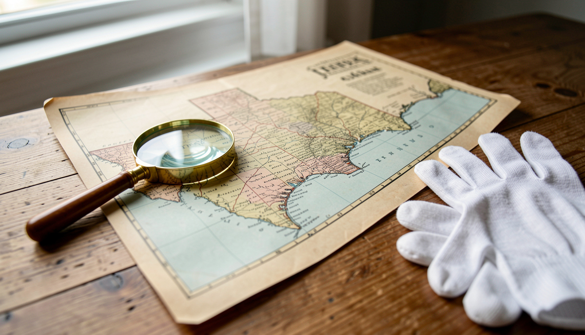
Antique maps are printed or hand-drawn representations of the world made before modern surveying and digital mapping. They matter because they record not only geography but also the knowledge, beliefs, and trade routes of the people who made them. The history of cartography traces how these documents changed over five centuries, from the first printed maps to pictorial tourist maps.
What Are Antique Maps?
Antique maps are maps produced in earlier centuries, usually before the twentieth century. They include printed sheets, manuscript charts, atlases, and wall maps. Collectors and historians often divide them by period, region, and maker. A single map can show coastlines, rivers, cities, and political borders as they were understood at the time. Many also carry decorative elements such as sea monsters, compass roses, and cartouches that name the maker and the date.
The study of these objects is part of the history of cartography. This field looks at who made maps, when they were made, what they show, and why they matter. The Cartographer's Folio is an English-language journal that covers landmark antique maps and atlases plate by plate, the history of mapmaking across five centuries, and the practical side of old maps today. Its articles examine individual maps in detail and explain their place in the wider story of mapmaking.
How Did Mapmaking Change Over Five Centuries?
Mapmaking changed through a series of technical and cultural shifts. The first printed maps appeared in the fifteenth century, when woodblock and copperplate printing made it possible to produce many copies of the same image. Before that, maps were drawn by hand, one at a time. Printing allowed maps to spread across Europe and to be corrected and reissued.
In the sixteenth and seventeenth centuries, atlases became popular. Publishers gathered maps into bound volumes that covered the known world. These atlases often included text, indexes, and decorative frontispieces. They were expensive and were often owned by wealthy families, merchants, and institutions.
During the eighteenth and nineteenth centuries, governments began to fund systematic surveys. National mapping agencies produced accurate topographic maps for military, administrative, and commercial use. This period also saw the rise of thematic maps, which show data such as population, geology, or climate.
In the twentieth century, aerial photography and satellite imagery transformed mapmaking again. Pictorial tourist maps also became common. These maps combine geography with drawings of buildings, landmarks, and activities. They are designed to be easy to read and attractive to visitors. The history of cartography includes these popular forms as well as scientific ones.
What Can Old Maps Teach Us?
Old maps teach us about more than geography. They show how people understood the world at a given time. A map from the sixteenth century may show a coastline that is inaccurate by modern standards, but it can still reveal what sailors knew, what they feared, and what they hoped to find. Maps also record place names that have since changed or disappeared. They can document borders, roads, and settlements that no longer exist.
Historians use old maps to study trade, migration, and political power. For example, a map that marks a harbor and a road can show how goods moved through a region. A map that shows a disputed border can reveal a political conflict. Maps are also used in genealogy and local history. People consult them to find where ancestors lived or how a town grew.
In education, old maps are used to teach critical thinking. Students compare a historical map with a modern one and identify what has changed. They learn that maps are made by people and that they reflect choices about what to include and what to leave out.
How Are Antique Maps Collected and Preserved?
Collecting antique maps is a practice that requires care. Collectors look at condition, rarity, and historical importance. They also consider the maker and the date. A map by a well-known cartographer may be more valuable than one by an unknown maker, but rarity and condition often matter just as much.
Authentication is an important step. Buyers check paper, ink, printing technique, and provenance. Provenance is the record of who has owned the map and where it has been. Auction houses, dealers, and libraries can help verify a map's history. Reputable sellers provide detailed descriptions and images.
Preservation is also important. Old maps are vulnerable to light, heat, moisture, and handling. Collectors store them in acid-free folders and boxes. They avoid direct sunlight and keep maps in stable temperature and humidity. When a map is framed, conservators use acid-free mats and ultraviolet-filtering glass. Repairs should be done by trained conservators, not with household tape or glue.
Public collections play a major role in preservation. National libraries, university libraries, and historical societies hold large map collections. Many of these institutions digitize their maps and make them available online. This allows researchers and the public to study maps without handling the originals. The Library of Congress, for example, provides a large online collection of historical maps through its Geography and Map Division.
Where Can You Study Old Maps Today?
You can study old maps in several ways. Public libraries and archives often have map rooms where visitors can view original sheets. Many institutions also offer digital collections that can be searched by place, date, and maker. University geography and history departments sometimes offer courses on the history of cartography. Museums with maritime, military, or local history collections often display maps as part of their exhibits.
Online resources are also useful. The Library of Congress maintains a digital collection of maps that spans several centuries. Its website allows users to download high-resolution images and read descriptions. This kind of access supports both research and teaching. For collectors, online forums and dealer catalogs can provide information about prices and availability, though buyers should always verify a seller's reputation.
Why Does the History of Cartography Matter?
The history of cartography matters because maps are both tools and cultural documents. They help people navigate, claim territory, and plan journeys. They also express how a society sees itself and others. By studying old maps, we can trace changes in science, technology, and worldview. We can also appreciate the craft of mapmaking, from hand-drawn charts to printed atlases to pictorial tourist maps.
For anyone interested in local history, old maps are a practical resource. They show where roads, farms, and towns once stood. They can help identify old property lines and family plots. They can also reveal how a region changed over time. Whether you are a collector, a student, or a curious reader, old maps offer a direct link to the past.